Microsoft ends support for Internet Explorer on June 16, 2022.
We recommend using one of the browsers listed below.
- Microsoft Edge(Latest version)
- Mozilla Firefox(Latest version)
- Google Chrome(Latest version)
- Apple Safari(Latest version)
Please contact your browser provider for download and installation instructions.


November 10, 2023
Navigating the Future: How Millimeter-Wave RFID Tags are Transforming Drone Operations
The challenges of navigating drones in tough weather conditions and various terrains are many, especially during periods of darkness, fog, or rain, when visibility is minimal. However, a recent collaboration between NTT and The University of Tokyo has produced a groundbreaking solution: the development of millimeter-wave RFID tags tailored for enhancing drone navigation.
Radio Frequency Identification (RFID) is a tried-and-tested method that uses radio waves to automatically identify and track objects. Fundamentally, it involves transmitting data from a tag, often attached to an object, to a reading device, which then interprets this data for its designated purpose.
What makes millimeter-wave RFID different from traditional RFIDs? The answer lies in its operational frequency range, which spans from 30GHz to 300GHz and offers a number of benefits. Firstly, it can transmit data at phenomenal rates, accommodating applications that demand quick data exchanges. Moreover, its heightened directionality allows for exceptionally precise location tracking, while its ability to penetrate certain materials opens up many potential usage opportunities. The compact nature of the antennas required for the frequency further ensures that the tags are small and convenient.
Incorporating such tags into drones has clear advantages, the primary one being significant improvements in navigation precision. Even when faced with adverse weather conditions, the tags remain largely impervious, unlike systems dependent on visible light. Think of a sensor network, constructed from advanced tags, constantly monitoring and gauging the environment from the sky, even in areas that had always been challenging to access, such as maritime zones or regions impacted by natural disasters. The potential advancements in weather predictions and disaster responses are immeasurable.
The need for such innovations is further heightened by the current environmental context. As the world struggles with the escalating consequences of global warming and climate change, the need for a resilient society has never been more urgent. Drones, representing the next frontier in aerial mobility, are anticipated to play a pivotal role in the change we need. The recent revisions to the Japanese Aviation Law in December 2022 have already cleared the path for drones to operate autonomously in populated zones. Their adaptability and versatility, spanning functions from comprehensive environmental surveys to intricate logistics operations, promise an age of efficient disaster relief mechanisms and enhanced meteorological insights.
At this point, it is necessary to look at the limitations of traditional drone navigation systems. Currently, most unmanned drone operations heavily depend on camera-based image recognition. While effective under optimal conditions, their efficacy drops during challenging visibility conditions and underscores the need for refining drone navigation mechanisms, ensuring they remain consistent and safe across diverse scenarios.
That's where millimeter-wave RFID tags come in. Not only are they battery-less, but they are also designed to be readable from far away, making them compatible with drone-operated compact millimeter-wave radars. While there have been prior attempts to enhance drone navigation, this technology's resilience during poor visibility and its versatility in locations where traditional setups fail set it apart.
Addressing the existing challenges tied to millimeter-wave RFID technology, especially those related to reading scope and performance, required a fresh approach. Both NTT and The University of Tokyo were ready for the challenge. While NTT took the lead in refining the signal processing approach for the radars, The University of Tokyo focused on the intricate design strategies of the RFID tags.
Looking ahead, the horizons for this pioneering technology are wide. The promise of drones operating autonomously, irrespective of the harshness of their environment, promises a future of enhanced disaster responses and detailed marine observations. Future uses could span diverse sectors, taking in areas such as logistics and healthcare. However they will be used in the future, the overall vision remains clear: the construction of a state-of-the-art aerial sensor network, fortified with a wide array of IoT sensors, ensuring optimal data collection even in the most unexplored regions. By fortifying the 4D digital framework, NTT is bringing the world closer to the resilient society it needs.
NTT--Innovating the Future of Communication

Daniel O'Connor
Daniel O'Connor joined the NTT Group in 1999 when he began work as the Public Relations Manager of NTT Europe. While in London, he liaised with the local press, created the company's intranet site, wrote technical copy for industry magazines and managed exhibition stands from initial design to finished displays.
Later seconded to the headquarters of NTT Communications in Tokyo, he contributed to the company's first-ever winning of global telecoms awards and the digitalisation of internal company information exchange.
Since 2015 Daniel has created content for the Group's Global Leadership Institute, the One NTT Network and is currently working with NTT R&D teams to grow public understanding of the cutting-edge research undertaken by the NTT Group.
Related Article


Recommended Article
-

March 14, 2024
What is NTT's GX? Our solution brand "NTT G×Inno"
-

March 5, 2024
[Press Conference Information] Launch of "NTT G×Inno," a New Solution Brand to Strengthen Efforts in the GX Field
-

January 15, 2024
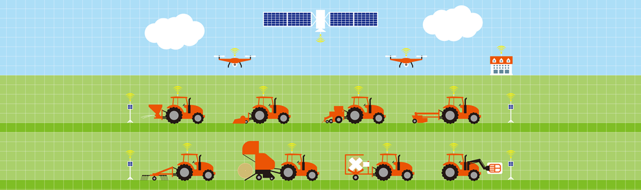
Digitization and Digitization for Smart Agriculture
-

November 17, 2023
Realizing a Recycling-Oriented Society through a Data Mining Approach
Search by Tags